Drone roof surveys. For the roofs other surveys can’t reach.
Roofcheck provides drone roof surveys on commercial and industrial buildings across the UK for facilities managers, property owners, managing agents and contractors who need a full picture of a roof that is hard or unsafe to reach. High-resolution aerial photographs, mapped roof images and thermal imaging, with no disruption to the building.
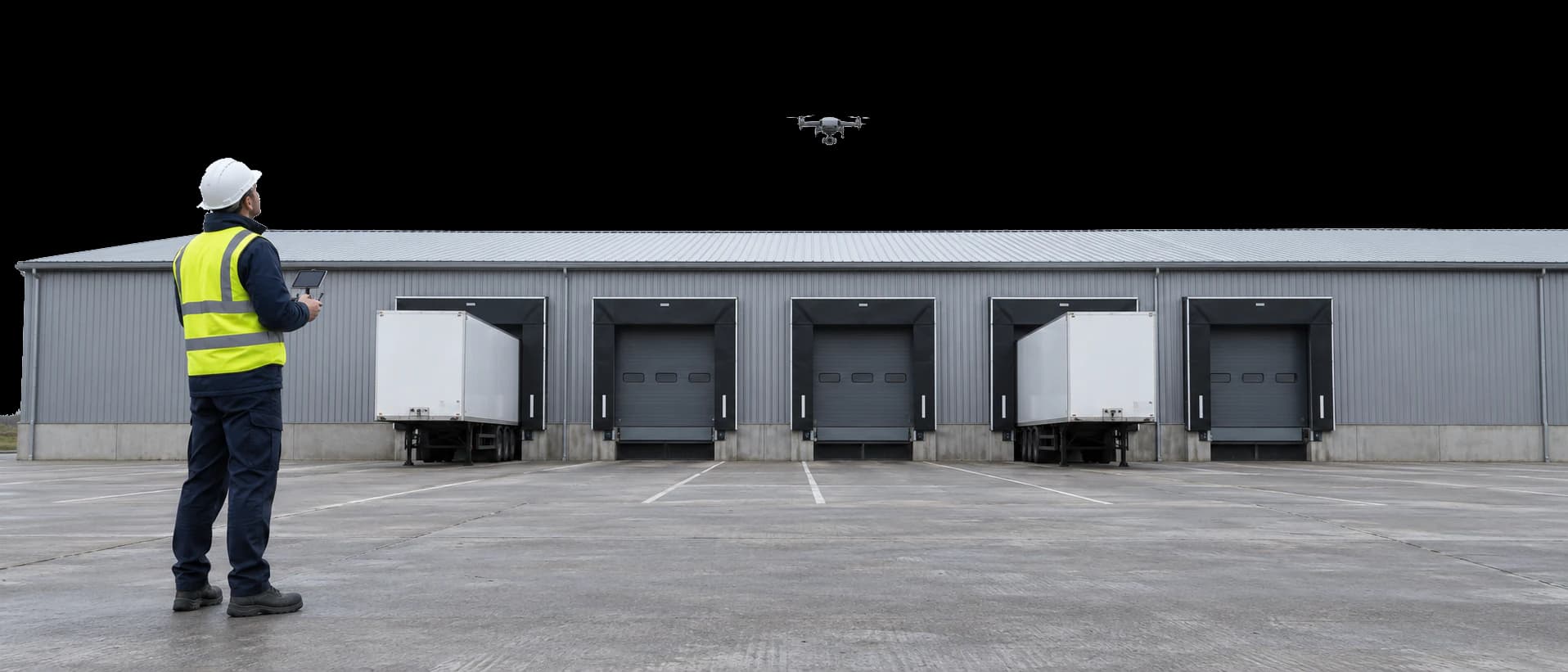
Drone roof surveys for commercial buildings
A drone captures detailed images of the whole roof from above, including the areas that are hard or unsafe to reach on foot, such as roof edges, gutters and high-level roofs.
Overlapping photographs are stitched into a single mapped image of the roof, accurate enough to measure from, and a thermal camera can be flown to look for trapped moisture.
Large and high-level roofs
Covers big roof areas and tall buildings without scaffolding, access towers or lifting equipment.
Roofs that cannot be walked safely
Inspects roofs that are unsafe to walk on, with no one working at height.
Before other surveys
A full aerial overview first, then targeted inspection or testing where it is needed.
Insurance claims and storm damage
Current images of the whole roof for insurers, without scaffolding or access equipment.
Buying and planned maintenance
A dated record of the roof for pre-purchase checks and maintenance programmes.
Roof areas and measurements
A mapped image of the roof, accurate enough to measure areas and plan works.
What a drone survey shows
The whole roof from above, captured without anyone working at height.
What it shows
- The whole roof surface, including roof edges, gutters and flashings
- Visible defects such as splits, damaged or displaced coverings and failed details
- Blocked gutters, debris and ponding
- A mapped image of the roof that can be measured from
- Thermal images, where a thermal flight is included
Limitations
- It shows what can be seen from above. Where a defect needs a closer look, a roof condition survey follows
- It cannot see inside the build-up. Moisture mapping or core sampling shows that
- Flights follow Civil Aviation Authority rules and need dry weather with light winds, so they are planned in advance
How a drone roof survey works
Flight planning
The site, airspace and access are checked, and the flight is planned around the building and the weather.
Aerial capture
The drone flies the roof, capturing overlapping photographs and, where needed, thermal images.
Processing
The photographs are stitched into a mapped image of the roof and reviewed for defects.
Report
Annotated images and findings, online and as a PDF.
Manage your drone roof surveys online
Approve quotes, follow every survey and open reports in one place, then share them by link so everyone works from the same information.
- Finding 1
- Gutter blocked with debris
- Finding 2
- Cracked rooflight panel
- Finding 3
- Lifted sheet at the eaves
A report you can act on
Every finding is marked on a mapped image of the roof, with a close-up of each.
- Aerial photographs of the whole roof
- A mapped image of the roof, annotated with findings
- Close-up images of each defect
- Thermal images, where included
- Online and as a PDF
Questions about drone roof surveys
What does a drone roof survey show?
The whole roof surface from above, including roof edges, gutters and flashings, with visible defects such as splits, damaged or displaced coverings, blocked gutters, debris and ponding.
Does a drone survey replace a surveyor on the roof?
Not always. It shows what can be seen from above, and is often the first step. Where a defect needs a closer look, or the build-up needs testing, a targeted inspection follows.
Can a drone survey measure the roof?
Yes. Overlapping photographs are stitched into a mapped image of the roof that is accurate enough to measure areas from. For detailed plans, see measured surveys.
Can a drone carry out a thermal survey?
Yes. A thermal camera can be flown over the roof. It needs the same conditions as any thermographic survey, so the flight is planned around the weather.
Is it disruptive to the building?
No. The drone is flown by a pilot with a clear line of sight, and work in the building carries on as normal.
Are there rules on where drones can fly?
Yes. Flights follow Civil Aviation Authority rules, which can restrict flying near airports and over busy areas, so every flight is planned and any permissions arranged in advance.
What weather is needed?
Dry weather with light winds. Flights are planned around the forecast.
What is needed from the client?
Permission to fly over the site, details of the building and any nearby restrictions, and access for the pilot.
How much does a drone roof survey cost?
Cost depends on the roof area, the outputs you need and the site. Call 0113 868 0097 or start a quote online with the approximate roof area, and you’ll receive a written quote.
Get a drone roof survey
Whether you’re investigating a problem or planning ahead, we’ll help you choose the right survey for your roof. Get in touch for a free quote.
Free quote
A few details about the building and what you need to find out. It commits you to nothing.
Start your quote